Our top three hikes in The Great Smoky Mountains

After completing the Camino de Santiago in the summer of 2014, our feet must have been tired and our hiking stamina depleted, because we put away our poles, water bottles, and fancy backpacks for a couple of years. In the midst of learning how to balance jobs, master’s degree programs, church and community groups, as well as family, we forgot about something we love to do – go for a rewarding day hike!

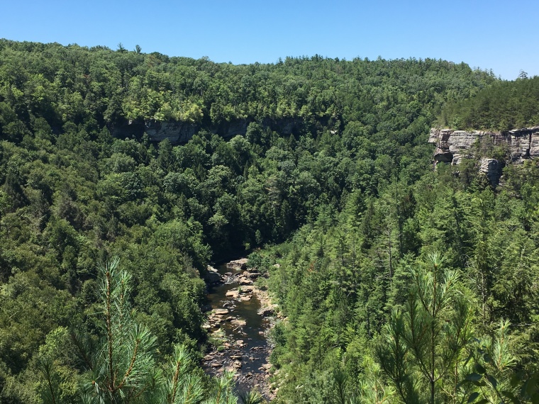
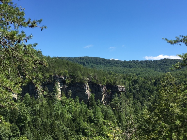
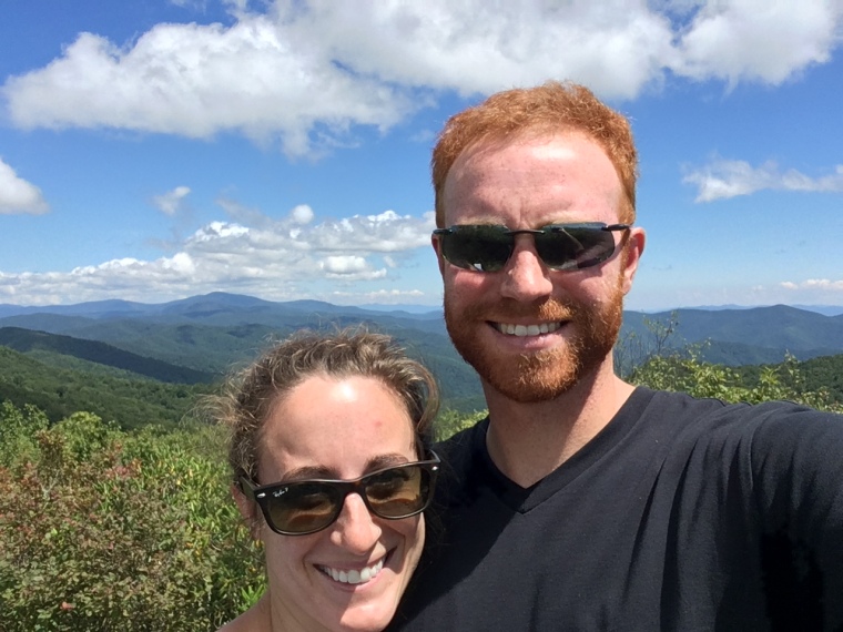
Since mid-summer, we’ve taken time to find the best of East Tennessee hiking close to home. After almost totally avoiding the Great Smoky Mountains National Park since a demoralizing experience early in our move to Knoxville (lots of traffic driving through Pigeon Forge, hiking in a cloud), Andrew found roads and hikes into the park that keep the traffic to a minimum, and the views prioritized.

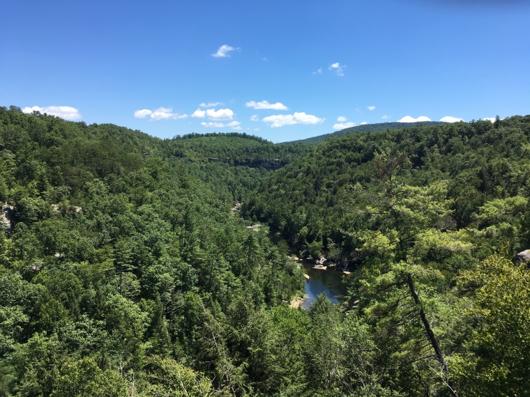
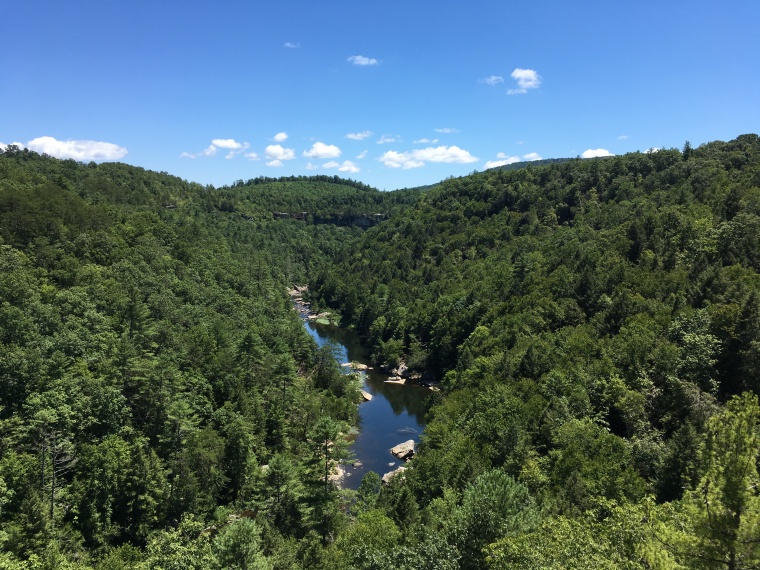
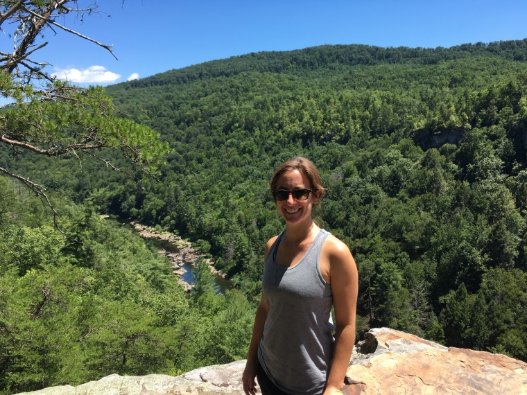
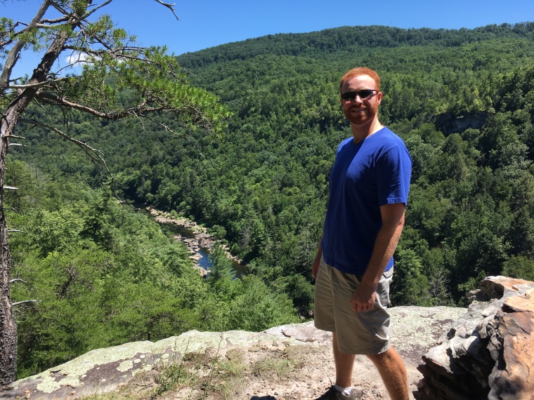
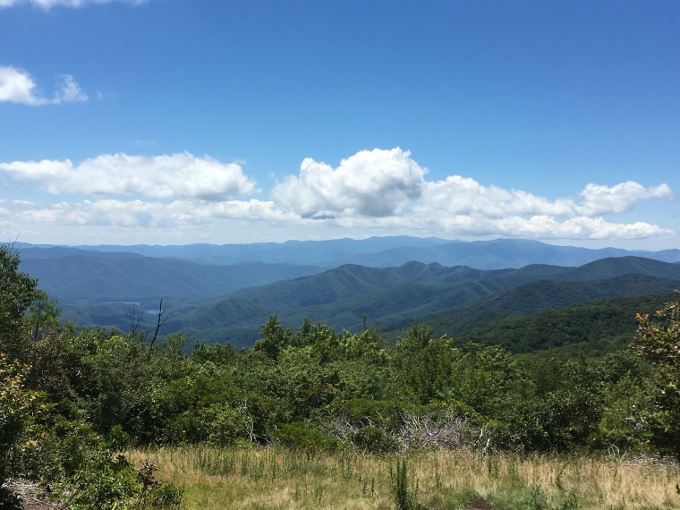
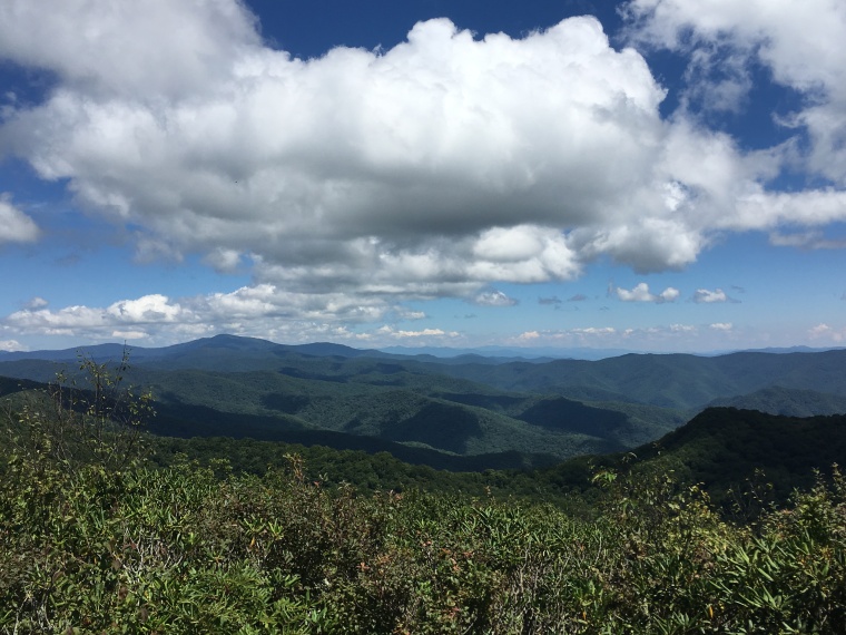
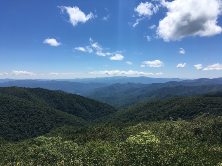
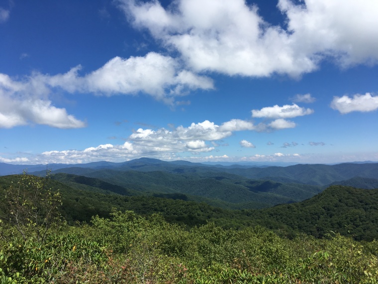
Our favorite hike so far is one that I often thought required hikers to overnight, whether in the LeConte Lodge, or by roughing it in a tent, so I never considered it as an option. Upon consulting our map, we learned that hiking up to Mt. LeConte is a 11-12 mile jaunt, making it doable in a day. Since this is the third highest point in the Smokies, and one often used as a point of reference, we knew we wanted to say we’d done it. We chose to hike up the Alum Cave Trail, which is stunning. The path ascends along a ridge of the mountain that gives adventurers views out onto the park the whole way up. This hike features stream crossings, natural arches, a sandy red bluff created by mining in the 1800’s, and unparalleled views out on neighboring peaks and ridges. The only drawbacks to this hike include the parking situation (the parking lot for Alum Cave Trail is small and popular – lots of folks do stay over night in the lodge), and the number of hikers on the trail itself. This isn’t a grueling trudge all the way to the top; I’d call it moderately strenuous. Since it isn’t thigh-crushing, many visitors to the park will try this trek.

A close second is the hike up to Spence Field and Rocky Top. The hike up to these two view points isn’t as spectacular or as interesting as the Alum Cave trail. In fact, the smooth rocks that create the path bed serve to churn your feet into hamburger meat. But, the reward for schlepping to the bald at Spence Field, and the rocky outcropping at Rocky Top, is well worth it. A major plus to this hike is the scarcity of fellow pilgrims on the trail (hello steep ascents!), and the ease of reaching the trail head. The trail head, located at the ample parking lot at the entrance to Cades Cove, is simple to access. My advice: invite your non-hiking family or friends along and meet them at the picnic grounds at the bottom of the trail head after a hard day’s hike for a grilled feast and a cold drink. Also, next time I hike to Spence Field, I’ll plan to make more of a loop, since Bote Mountain trail kind of sucks (Anthony’s Creek Trail to Bote Mountain Trail, over to Spence Field, along the AT to Russell Field, down the Russell Field trail back over to Anthony’s Creek – this is a LONG hike).

IMG_0315
Crossing the Creek
IMG_0320
From Spence Field – you can see Fontana Lake in the background
IMG_0324
Will she make it to Rocky Top?
IMG_0327IMG_0329
IMG_0335
On Ol’ Rocky Top
IMG_0338
Finally, another worthwhile trek is the walk out to Charlie’s Bunion. This weekend we hiked to Charlie’s Bunion for a second time. The first time, we had no idea we were literally on the precipice of a steep cliff that dropped vertically for what seemed like infinity. The hike out and back to Charlie’s Bunion is about 9 miles (including a detour to the Jump Off – which would have been beautiful, were we not… in a cloud), and is the shortest and the least steep of all three hikes listed here, which of course makes it extremely attractive to “tourists”. Finding a quiet rock for a peanut butter and jelly picnic was impossible, thanks to the nature-loving coeds on fall break, but the view was impressive. Seeing other less cautious adventurers climb on the sharp rocks jutting out over oblivion was also plenty entertaining. Park at the Newfound Gap parking lot, and hike along the Appalachian Trail to enjoy this one.

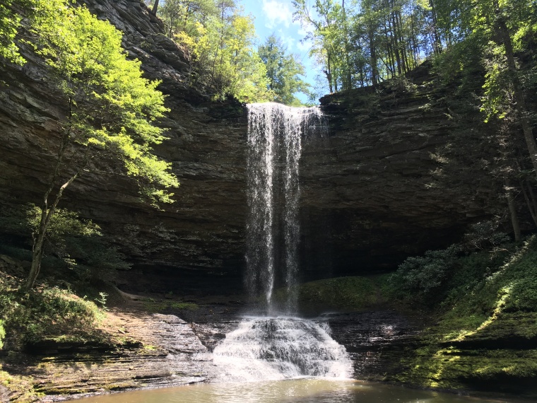
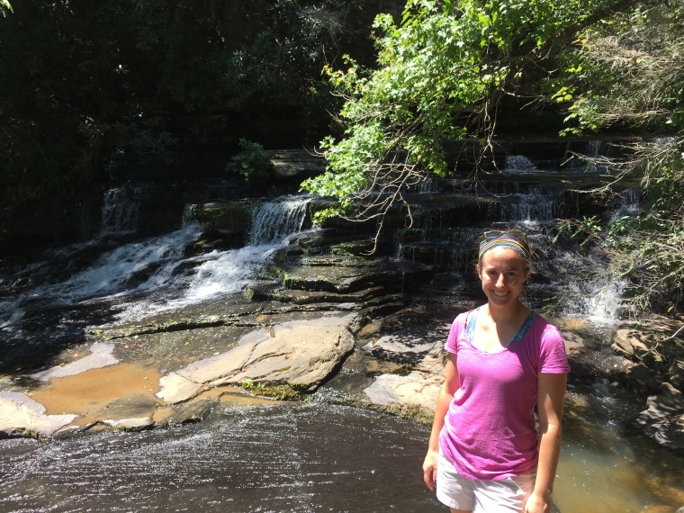
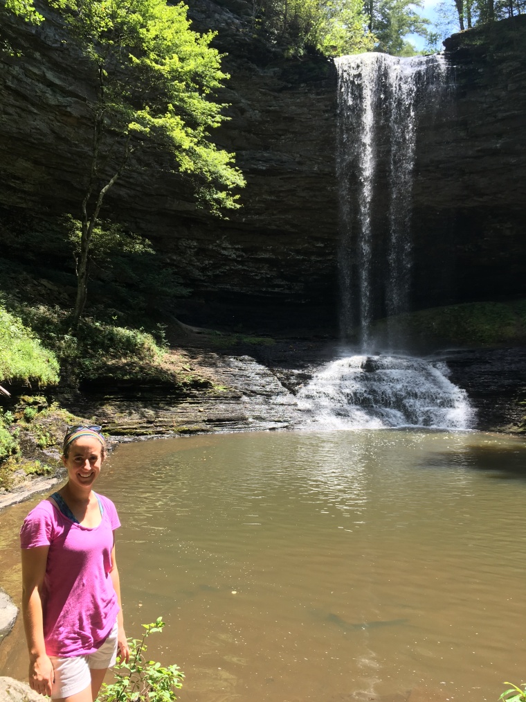
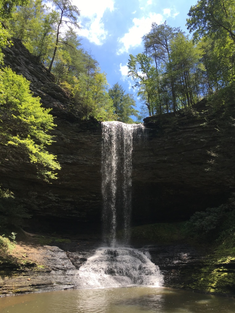
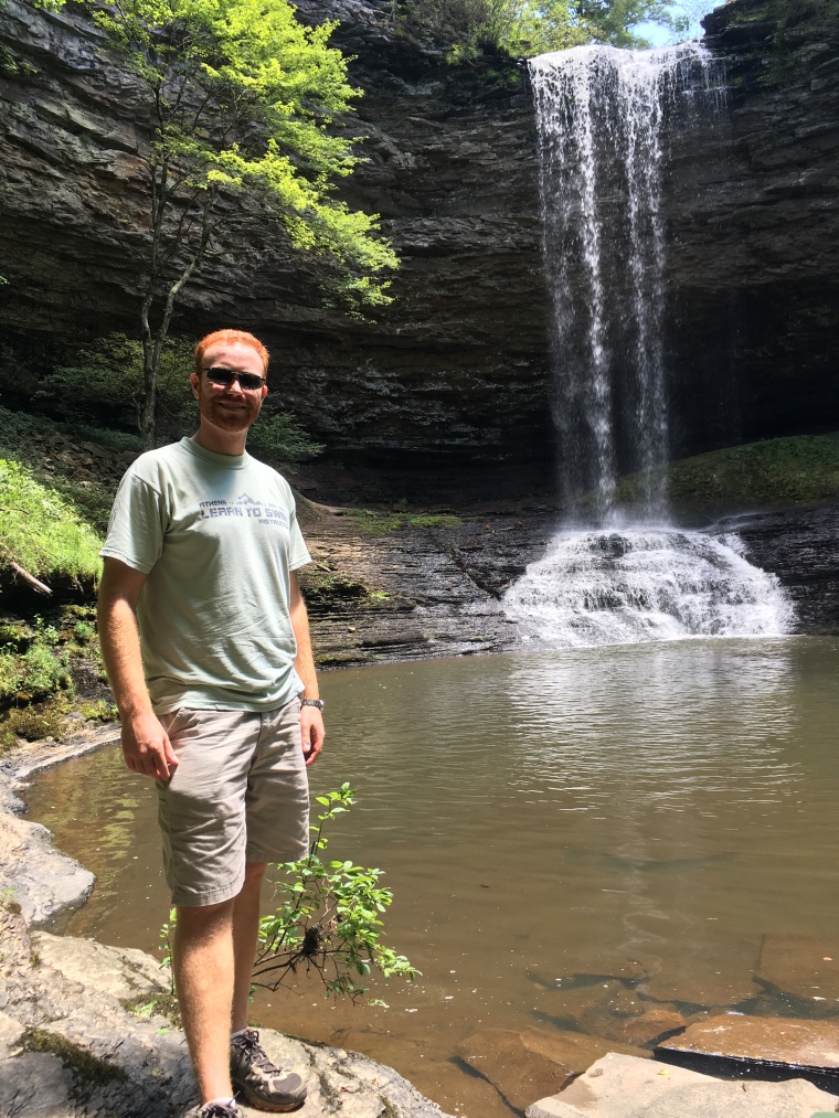
Have you found any hikes you love in the Smoky Mountains? We’ve also hiked Abrams Falls off Cades Cove Loop, as well as Cammerer’s Mountain at the Cosby Entrance to the park. We’ve got Laurel Falls, as well as another hike to Cammerer’s on our list. I’d also like to hike up to Sterling Mountain via the Baxter Creek Loop, but rumor has it that it is the most difficult hike in the whole park. Enjoy the beautiful fall colors while they last!

Obed Wild and Scenic River

IMG_0299.JPG

Climbers in East Tennessee often reference the Obed, but since heights make my bones a little shaky and my heart flutter, I’ve never been that interested in checking it out. Sunday dawned cool and bright, so we rallied quickly to determine where we should spend our day outdoors.  We settled on the Obed Wild and Scenic River, since it offered a 4 mile hike (perfect distance for us!), and is close enough to our house (+/- 1 hour).

IMG_0301.JPG

Here are some highlights of the trail:

  • Shaded picnic area at the trail head
  • Nice facilities (a “bathroom,” picnic tables, bear safe trash cans, boardwalk, ample parking)
  • Not too crowded
  • Boardwalk to the edge of the gorge for scenic view at the beginning of the trail
  • Flat hike – not much elevation change
  • Interesting rock formations
  • Side trails that cut off to overlooks of the gorge – would be ideal in fall
  • Wildlife

Some cons along the way:

  • Wildlife – we saw a snake!  After a some googling, I’m pretty sure it was a copperhead.  It “froze” on the trail, and would not move, unlike other snakes we’ve come across, which is characteristic of copperheads.  We also felt like the birds of prey (romantically we called them hawks, in reality, I think they were buzzards) were circling for us.  Needless to say we quickly took cover.
  • Over an hour away
  • Takes attention to arrive at the correct entrance to the park – you’ll need to go to the Lilly Bridge entrance to find the trail head for the Point Trail hike, which is the hike we completed

IMG_0303IMG_0304IMG_0306IMG_0307

The best part of a trip to the Obed though – SWIMMING!  After hiking, we drove back down to the bridge, and immediately noticed people floating in the river below us.  I was prepared with towels and swimsuits, so we changed and zig-zaged down to the water. The river is perfect for floating, swimming out to the different sand bars and rocks along the creek, and sunbathing on the rocks along the water (I sort of felt like one of those beached sea lions flopped on the deck that you see in certain bays – I tried not to be too hard on myself though).  Next time, I’d definitely come with a tube float and a cooler stocked with a 6-pack to top off an afternoon relaxing in the water.  I know you’re thinking  “What about snakes swimming with you?” Well, lots of other folks were already splashing around, so I figured those cold-blooded animals had already scattered. The water is also clear, so as long as the sun is shining, you’ll be able to see the bottom. Careful, once the sun falls behind the hills the water turns inky black and everyone skedaddled… so did we! If you check out the Obed, let me know what you think!

Piney Falls State Natural Area

IMG_0282
Upper Piney Falls

We woke up this past Saturday morning to a predicted high temperature of 86 degrees Fahrenheit.  I immediately realized we needed to spend as much time outside as possible, taking advantage of one of our last weekends before school starts, and perfect East Tennessee weather.

We’ve been lazy about hiking in East Tennessee recently.  Saturday morning commitments, master’s courses, and grocery shopping kept us from planning any hiking adventures this past school year.  Also, in an effort to avoid visiting the Great Smoky Mountains on the weekend because of traffic from Pigeon Forge and overcrowding of trails, we can be daunted by choosing a hike that offers something unique relatively close to home. Clearly, given the geography of the region, East Tennessee must have hidden trails and hiking spots nearby, but they can be difficult to locate simply using a google search, since all the trail information is not collected into one comprehensive website.

Thankfully, we recently learned of the website Roots Rated, which compiles information about top rated hikes and outdoor experiences in your area, and then recommends hikes based on difficulty, features of the trail, length, and location.  One useful component of this site is the detailed information about the trail head location of each hike.  More than once, Andrew and I have been frustrated searching for the promised parking lot that allows us access to that fantastic ridge hike we’ve been dreaming about.  Roots Rated, based in Chattanooga, keeps the frustration out of planning a day hike, and lets you spend more time hiking, and less time planning!

Saturday morning, after 30 minutes of research using Roots Rated, we decided to hike at Piney Falls State Natural Area.  An hour away from our house, Piney Falls is located near Spring City, in rural East Tennessee.  Upon arrival, we ventured to Lower Piney Falls first, and spent considerable time trying to figure out if we could hike to the bottom of the falls (you can’t).  From here you can see a few slow moving rapids leading up to the larger falls, hop across the stream on the wide, smooth rocks, and creep to the edge of a sizable waterfall.  Once we clambered back up the steep dirt hill, we turned right to walk along the ridge of a shelf rock.  Not too many folks explore up here; we kept fighting with sticky spiderwebs!

IMG_0275
Lower Piney Falls

We trekked back to the split of the trail, and this time directed to Upper Piney Falls.  Once again, we found the top of the waterfall quickly, but were hoping to see the falls from the bottom.  We crossed the stream at the top of the falls, and followed a narrow trail along the ridge of the bowl of the waterfall.  Since the trail was not well-marked, we weren’t sure our efforts would lead anywhere.  Sure enough, we found a rope rigged up to help adventurers down the side of a steep hill to the bottom of the falls. I didn’t expect much, even after reading about the hike from Roots Rated, but the falls awaiting us plunged from way above.  The water pooled at the basin, and if we’d have been prepared, this would have been a great swimming hole for a hot day.

IMG_0280IMG_0283IMG_0286

We walked behind Upper Piney Falls, and found a trail that makes a loop back to the Lower Piney Falls trail that you can then follow back to the parking lot.  In total we spent 2 hours hiking around at Piney Falls.  We were impressed with the beauty of the falls, and glad we weren’t pushing past other outdoorsy people like we would have been at Abrams Falls, which isn’t nearly as fun to explore or as grand.  We planned to picnic after our walk, and did, but there isn’t a picnic area here, which was one small drawback.  The only other critique I had was that the trail wasn’t well-marked, but that did lead to some extra exploration for us, which made our afternoon that much more fun!